HOME

DIEPPE SCHOOL OF CARTOGRAPHY

ARABIAN SEA, RED SEA, AND PERSIAN GULF (CHART 4 OF THE VALLARD ATLAS), 1547

NAVIGATION
Home
About
Help
View Cart

About the Artwork

Arabian Sea, Red Sea, and Persian Gulf (chart 4 of the Vallard Atlas), 1547. Dieppe school of cartography (France, mid-16th century).
Manuscript on parchment; Portolan atlas, including 15 nautical charts. The Huntington Library, Art Museum, and Botanical Gardens.

Popular Images

About our Prints

Made to Order
On-Demand Printing
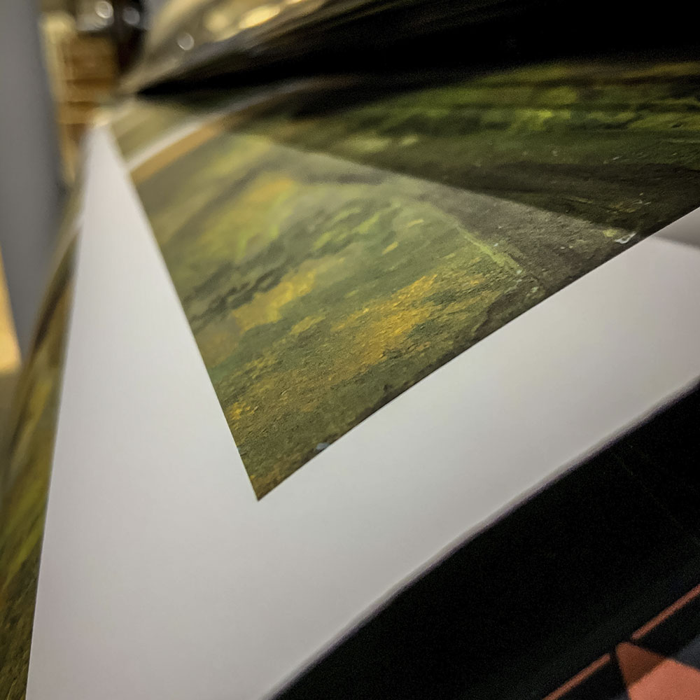
All products are produced on-demand, in accordance with stringent production protocols designed to ensure consistent and superior quality.
Premium Materials
Archival Quality
We exclusively use 230 gsm archival paper and gallery-quality canvas substrates in our production process. Our 12-color pigment ink printers deliver precise color, sharp images, and fine detail.
Match Your Style
Customization
Customize your print by choosing the image size, substrate, and frame moulding. We offer a selection of high-quality frame options that you can tailor to suit the image and your style.